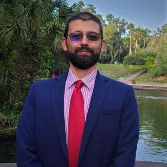
Michael Core

Contact Information
I hold a Geographic Information Science (GIS) Administration, MS, from the University of West Florida, a BA in Geography, a minor in Geology from the University of Colorado, and an AGS in Natural Resource Management for Pikes Peak Community College. I am currently the Application Developer Designer for the Florida Resources and Environmental Analysis Center (FREAC) at FSU. As the Application Developer Designer, I spend my day emphasizing innovation, education, public outreach, technology upgrades, and modeling complex systems utilizing a georeferenced database. Currently, I am updating the Certified Corner Records FTP site for the Florida Land Boundary Information System (LABINS) and developing a platform to promote resilient infrastructure, greenhouse gas reduction, and net-zero initiatives in the Florida Panhandle.
I have extensive knowledge of GIS, geography, geology, remote sensing, utility energy modeling, cadastral records, storm-impact modeling, change detection, and land classification. I also designed, performed spatial analysis, programed, updated, and provided web-based application support for the tax assessment map for Citrus County Property Appraiser. Furthermore, at the University of Colorado, Colorado Springs (UCCS), Office of Sustainability, I performed utility energy use modeling for the $3 Million annual utility budget. I also have an extensive working knowledge of Esri products.


